
World of Amedrer:
Kingdoms of Onisendrea
Explorer’s Map
A map representing the majority of Onisendrea in the 12th Age. This map shows features such as typical environment, prominent rivers, settlements and their names, travel routes, kingdom borders and other information of use to travellers adventuring across these lands.
This map is the first element in a collection of documents recording the many aspects of the Lands of Onisendrea. For those interested in expanding their knowledge or wishing to delve deeper into the intricacies of the world of Amedrer, the collection of books entitled “World of Amedrer” will serve well. These detailed collections of documents will inform the reader on a range of topics, including culture, geography, history, creatures and plants.
“I aim to discover the world which is full of colour. Striving to find every detail in the dust. I will record every feather of every bird. I will show everyone how to dream under the gaze of Viridis and Ottray.” –
An excerpt from Nyla’s journal, Concept Keeper
Creative Process
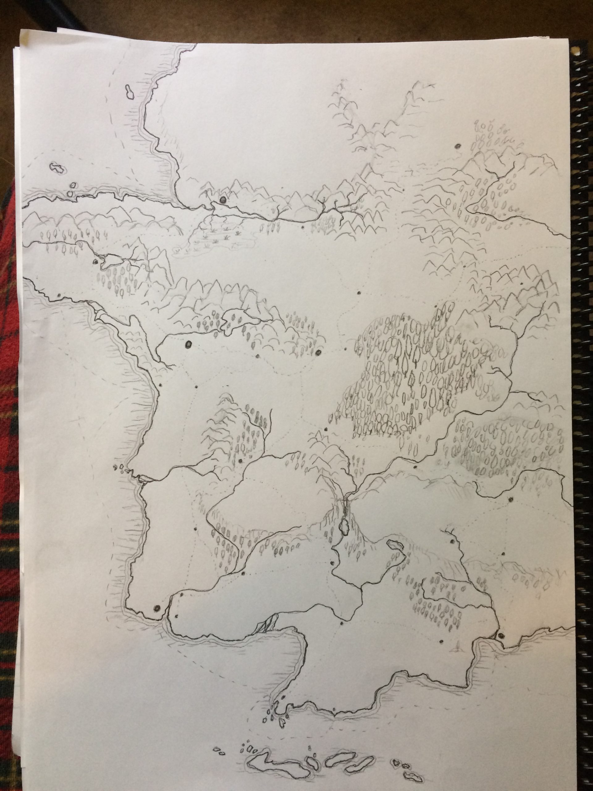
I started this project in October 2020. It started out with just a sketch.
You might notice that this is only the left half of the final map and some areas have been changed quite significantly. I was very happy with this as a starting point and I even decorated the coasts with wavy lines. I scanned it into photoshop where I traced over the lines of the coast and added some colour to the different areas.
At this early stage, I also started to think about different settlement locations and names. Part of world-building is to create a world full of detail. The detail makes it feel alive. However, my tip is remembering to start simple and then build complexity.
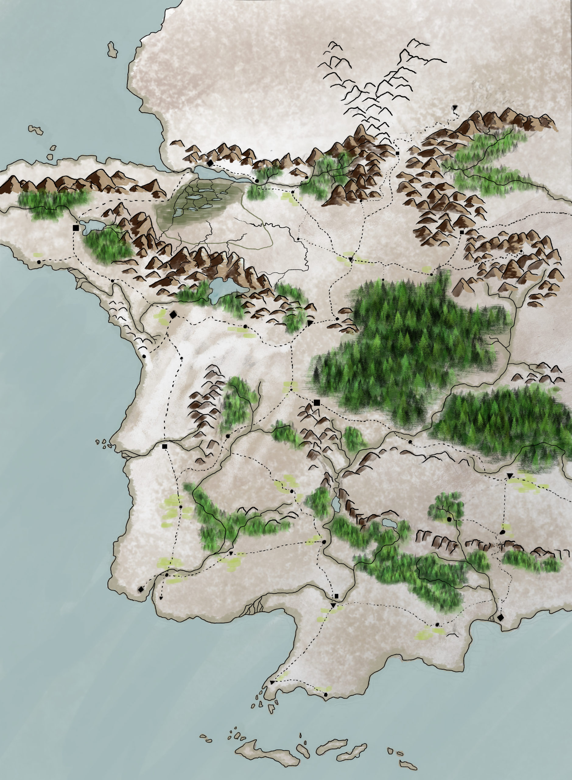
The next few edits were about understanding my world: its history, people and conflict. That is when I realised that this map wasn’t complete so I added another page to the right. This area filled the gaps in some of the politics and added more dynamic conflict.
By November 2020, I had a decent looking base map. It still needed labels and other decorations which I completed that month. By mid-December version 1 was complete and I printed an A1 version to hang on my wall.
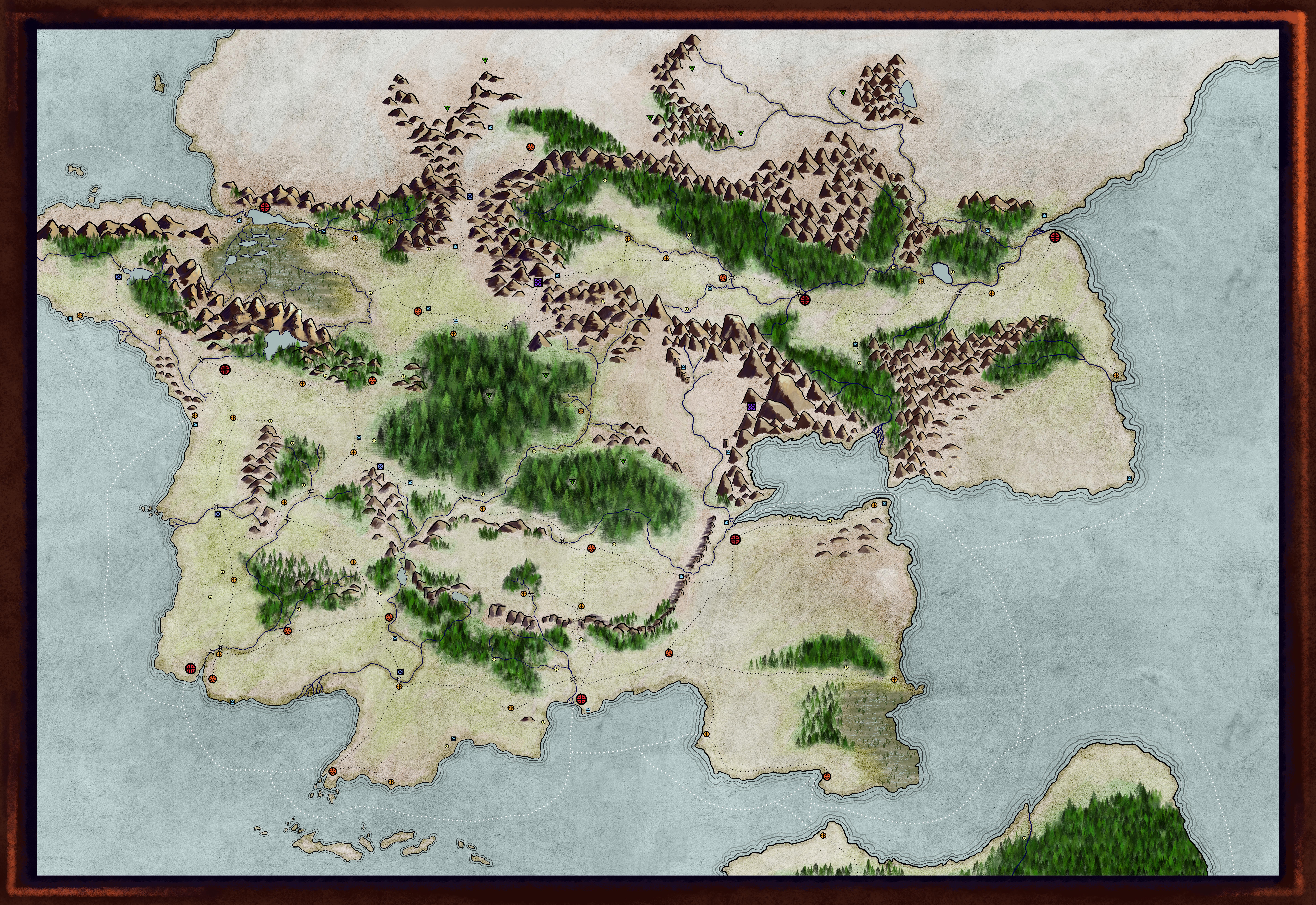

In 2021, I spent several months finding ways to improve it such as redoing the border and decorations like the compass and info blocks. The final version was finished in August 2021 and can be seen at the beginning of this article.